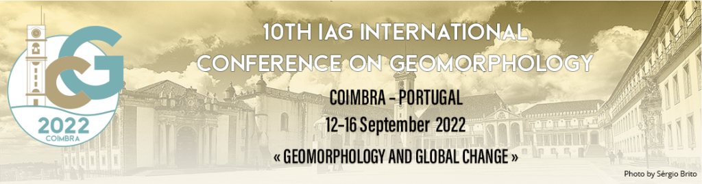
As it was announced in previous days, we glady had the chance to share with the scientific community at the 10th International Conference of the International Association of Geomorphologists (IAG) two contributions on the frame of the PROSLDIE project.
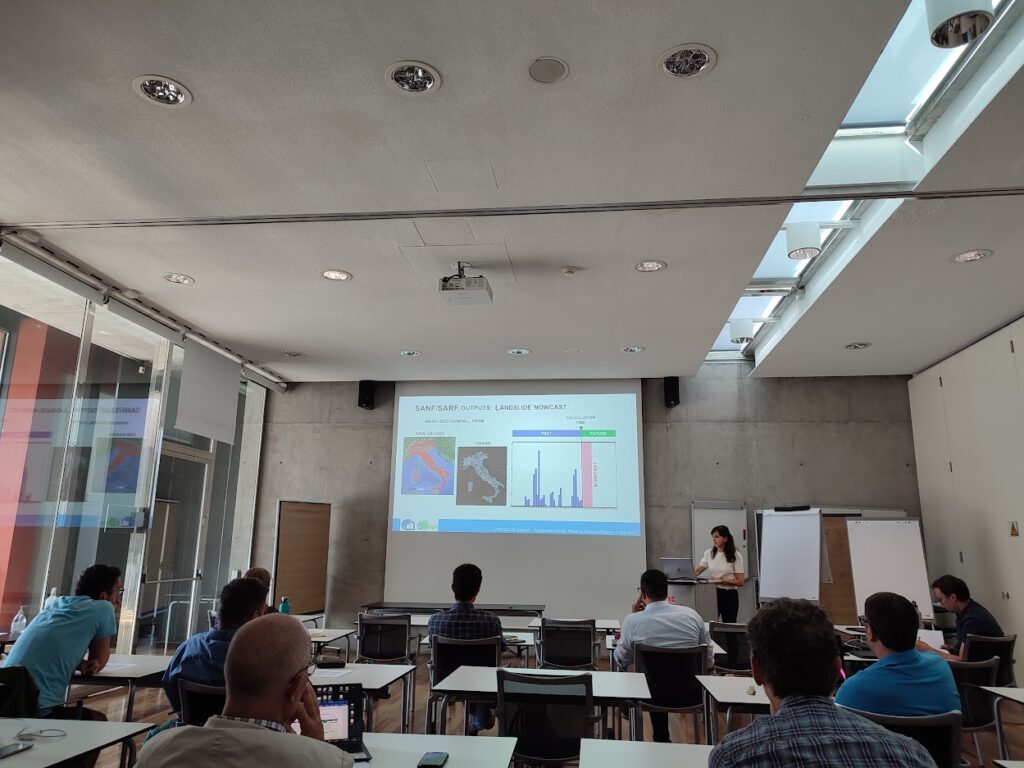
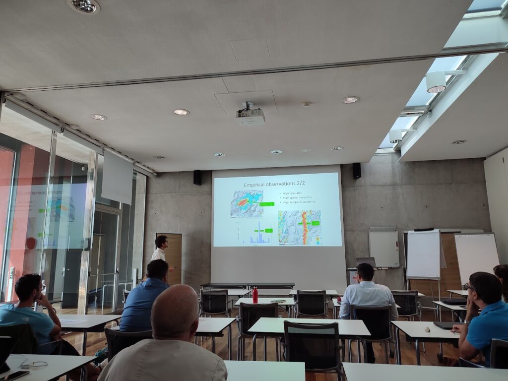
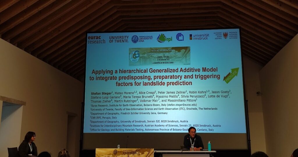
Stefan Steger gave an oral presentation on Applying a hierarchical Generalized Additive Model to integrate predisposing, preparatory and triggering factors for landslide prediction (session ICG2022-19 – Geomorphological hazards and risk management) –> see more
&
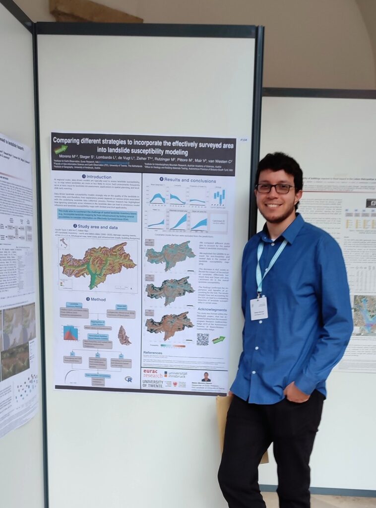
Mateo Moreno presented a poster on Comparing different strategies to incorporate the effectively surveyed area into landslide susceptibility modeling (session ICG2022-19 – Geomorphological hazards and risk management) –> see more
Find out more details at the meeting programme CO Meeting Organizer ICG2022 (copernicus.org)