The past Friday, October 8th, fieldwork activities were carried out in the Passeier Valley. Like in the previous two field trips (First field trip – June 17th and Field trip campaign July 26th – 30th), the primary goals were to take soil samples and execute the DCPT (Dynamic Cone Penetration Test) to determine hydrological and geotechnical soil properties. This time there was no need for digging a soil pit, as the soil samples could be taken from a large old landslide scarp. According to the owner of the field, this landslide occurred due to an earthquake around 2000. However, by checking the USGS database of past earthquakes, it was found that the landslide likely correlates to a relatively large earthquake that occurred on July 17th of 2001, with a magnitude of 4.7 and its epicenter in the middle of the Passeier Valley (https://www.volcanodiscovery.com/earthquakes/quake-info/4826702/mag4quake-Jul-17-2001-northern-Italy.html)
-
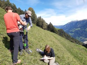
- DCPT equipment and execution.
-
- Discussion with owner of the field.
-
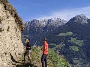
- East flank of the Passeier valley.
-
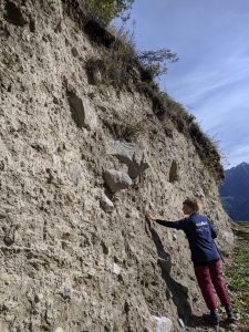
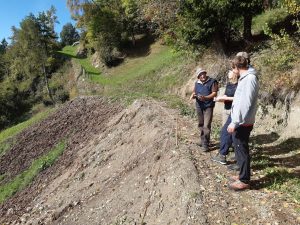
- Overview of the old landslide scarp.
-
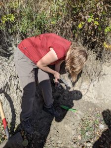
- Collection of soil samples for laboratory analysis.
-
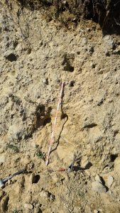
- Example of sandy soil profile located in the landslide scarp.