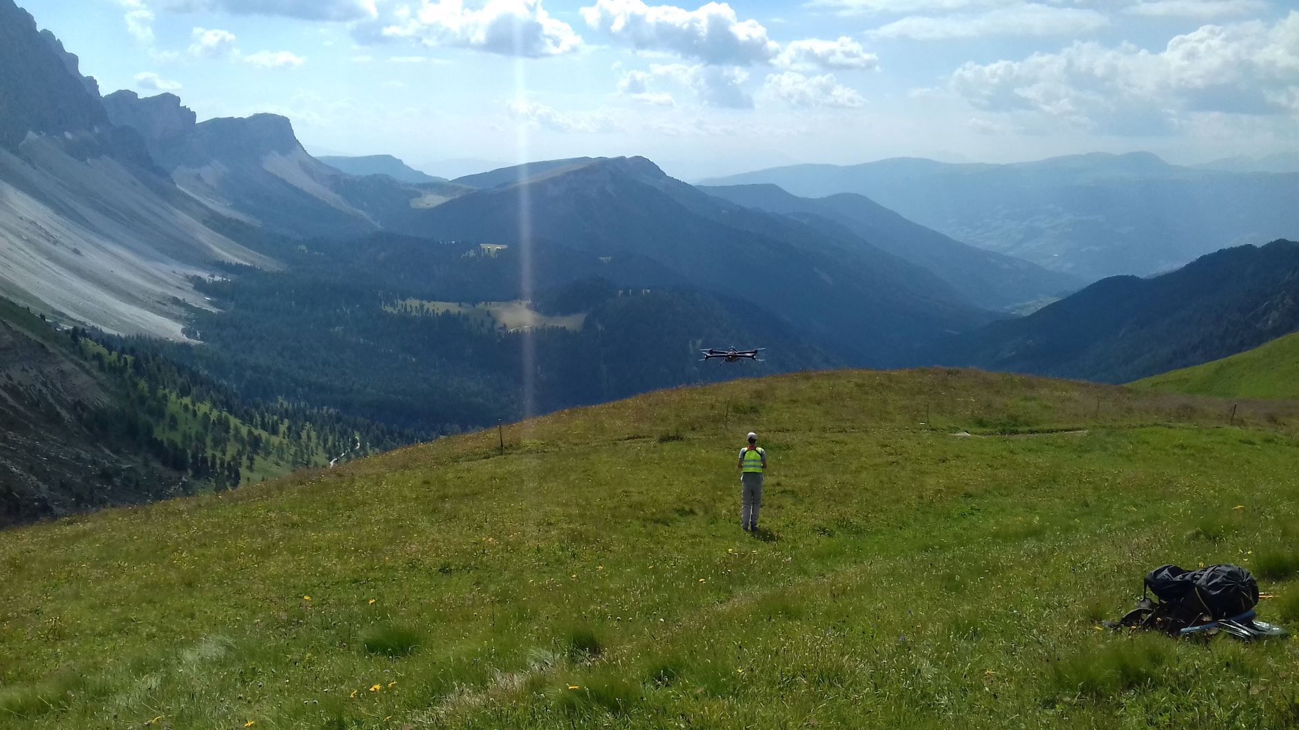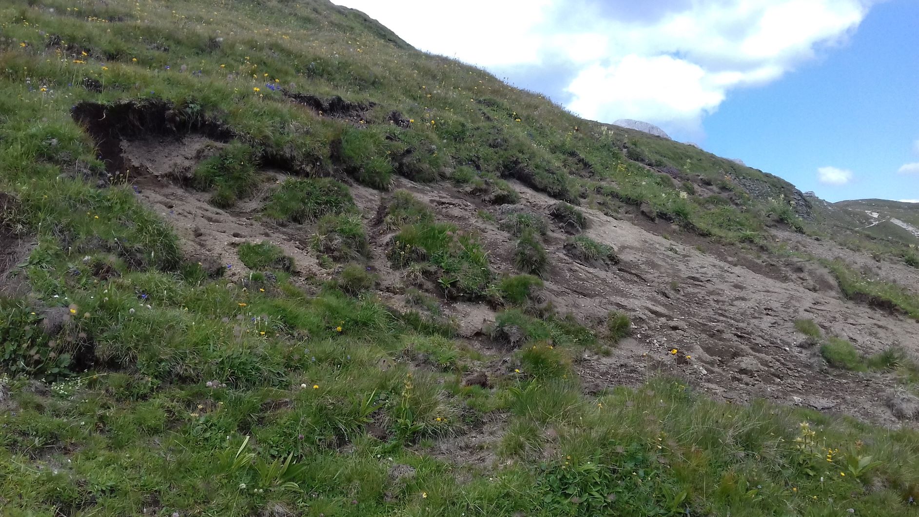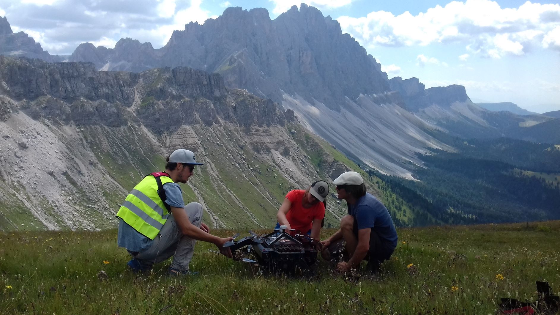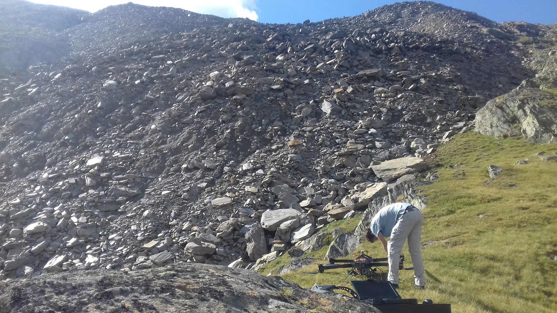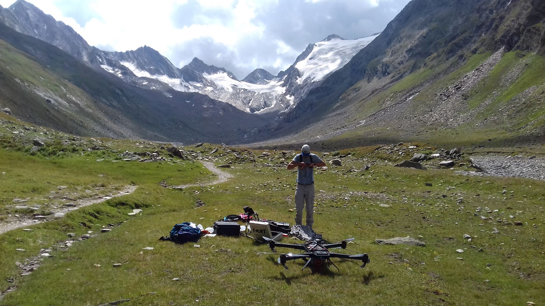
The RiCOPTER System is used for mapping erosion areas for the scientific project ERODYN. The project investigates shallow erosion dynamics in mountain grasslands of South Tyrol by monitoring of erosion processes and mitigation measures with close range and remote sensing techniques.