Category Archives: Blog

Disaster Research Days (DRD) 2021 – Disaster Competence Network Austria

On October 20th, Lotte de Vugt presented her work on the construction of a more detailed landslide inventory of the August 5th 2016 storm event in the Passeier valley during the Disaster Research Day Seminars of the DNCA (Disaster Competence Network Austria). The title of the presentation was: “Compilation of event-based shallow landslide inventories based on high-resolution earth observation imagery – a test case in the Passeier valley (South Tyrol, Italy)”.

The figure below shows how the more detailed landslide inventory constructed with Planetscope and RapidEye imagery compares to the national italian inventory (IFFI). The abstract of the presentation can be found here, in the linked “Konferenzband”: https://www.dcna.at/index.php/de/drd21-de.html

Figure: Comparison of the landslide locations in the IFFI database and manually mapped landslides on PlanetScope imagery, for a storm event that occurred on the 5th August, 2016. PlanetScope imagery (3 m resolution) taken on 2016-08-24 (Planet Team, 2016).


Civil Protect 2021

On September 17th, Stefan Steger from Eurac Research participated in the Civil Protect 2021 event to present Proslide activities to the public and local decision makers. The session was entitled Online inventory of mass movements (fierabolzano.it). His presentation was entitled Analisi dei movimenti di massa in Provincia di Bolzano and it was presented during the session Inventario on-line dei movimenti di massa: quali sono i vantaggi per questa amministrazione?

Screenshot of the program event.


Field trip campaing July 26th – 30th

During the week of July 26th  – 30th, fieldwork in the Passeier Valley was conducted with the main goal of data collection. The collected information corresponds to soil samples and the execution of the Dynamic Cone Penetration Test (DCPT). Laboratory analysis will be carried out from the collected data to classify the soil material and extract hydrological and geotechnical parameters such as soil density, water content, hydraulic conductivity, cohesion, and friction angle, which are essential inputs for the physically-based modeling.

The fieldwork in the five days was mainly divided into two stages. The first one consisted of digging a soil pit (with dimensions of 1m x 1m x 1m) at each previously selected location to have a clean soil profile for descriptions and sampling. Out of the soil profile, two buckets of material and several ring-shaped samples for laboratory analysis were taken at different depths to have a suitable representation of the soil profile. Furthermore, the second stage involved the execution of the DCPT to determine the soil depth and have a general overview of the soil structure. All the sampling and tests were done after discussing and getting permission from the landowners.

Lastly, the fieldwork team was very grateful for the friendliness of the farmers in the Passeier valley. The conversations with them gave great detail of information on the local problems with landslides and of course, their corporation in allowing the samples to be taken from their fields, was also very thankful.

Meeting between Eurac and CNR IRPI

On the 13th of July Eurac Research met with the Consiglio Nazionale delle Ricerche – Istituto di ricerca per la protezione idrogeologica (CNR IRPI). This is the research institute for geo-hydrological protection. Some of the most well-known researchers in the field of rainfall thresholds work in the latter organization. CNR IRPI was represented by Stefano Luigi Gariano, Maria Teresa Brunetti, Massimo Melillo and Silvia Peruccacci. On the Eurac side Stefan Steger, Alice Crespi, and Robin Kohrs participated. As an external researcher from the University of Jena, Jason Goetz also attended the meeting. The goal of the meeting was to present the current status of the rainfall thresholds that are developed within the Proslide Project. In addition, a mutual exchange on recent developments and recurring challenges turned out to be very beneficial. Finally, another meeting with the final results was proposed.

First, Eurac presented his work on the thresholds for South Tyrol and in doing so highlighted the issues he faced. These include common questions as the generalization vs the precision for thresholds or the frequent topic of rainfall event definition. After the presentation, the round was open for discussion and questions. With ongoing time, it became more and more evident that the input data for the threshold, and its quality, is crucially important. Not only the temporal and spatial resolution of the rainfall data or the accuracy of the landslide data are decisive for the successful development of rainfall thresholds. Rather a separation between a dedicated landslide catalog and a landslide database should be made. While the former one usually contains dedicated research on each single entry that fits the research needs, the latter one normally contains many movements of potentially different types. It then depends on the researcher to filter out those, that are of interest and fit the research questions. Furthermore, differences in the approaches to develop rainfall thresholds were reviewed. As anticipated beforehand, there is not one single best approach. Instead, there are many different methods that each have their legitimation and should be carefully examined and discussed.

The presented results were a status quo at that time. Hence, another meeting with the final results was planned for the end of this research line of the project. Also, CNR IRPI kindly provided us with an extract of their landslide catalog for the area of South Tyrol. This data is and will be used to validate models that are built using data from the IFFI database

Screenshot from the meeting

First field trip – June 17th

On June 17th, fieldwork activities were carried out in the Passeier valley. The field trip had several goals. The main one was to get familiar with the study area chosen for the physically-based approach of the landslide hazard assessment. Besides, getting the first soil samples to determine the hydrological and geotechnical parameters of the soil and testing out the equipment that will be used during the next field campaigns at the end of July.

The first stop was a meadow near Sankt Martin in Passeier on the south-facing hillside. After a very informative conversation with the landowner about previous landslides in the area, a Dynamic Cone Penetration Test (DCPT) was executed. The information from the DCPT can be used to determine the regolith depth, one of the most important parameters in the physically-based model. At one of the three test sites for the DCPT, a soil pit was dug to assess the soil structure and take soil samples from several depths.

The second stop was on the north-facing hillside, between Quellenhof and Neuhaus. A Terrestrial Laser Scanning (TLS) acquisition was performed. This acquisition will be used to construct a Digital Elevation Model (DEM) with a high resolution. This DEM can be used to find signs of previous landslide occurrences among all its potential uses. It is known that several landslides occurred at the site in 2016; nevertheless, since the latest DEM is from 2014, this cannot be used for the 2016 event. Therefore, the DEM generated from the TLS will cover this gap.


vEGU 2021 Conference-presentation

Due to the still ongoing pandemic, this year’s conference from the European Geosciences Union (EGU) will be held in a virtual format and hence be called vEGU21.
The Proslide project will be presented in a vPico presentation. This is a form of presentation with only one single slide and the presentation takes only two minutes. Afterwards, there will be a breakout chat for each vPico talk. The presentation of the Proslide project will happen on the 27th of April at 9:25 ECT. The breakout-chat will start the same day at 9:36.
The title of the presentation is: “Combining static and dynamic environmental factors at various scales to predict shallow landsliding in South Tyrol, Italy – The Proslide project”. The link to all the presentations on that day can be found  here.


Interactive Landslide Inventory

The landslide data that will be used in the Proslide project mainly comes from the iffi-database (Inventario dei Fenomeni Franosi in Italia). For us, especially the temporal component of the slides is important. In order to facilitate the access and visualize the data in an interactive way, we set up a very basic shiny application (https://shiny.rstudio.com/). At this point, it is just a preliminary version, but already provides a first impression of the point-data that will be used within the project. The data can be filtered by the year, the month as well as the day. Additionally the type of movement can be selected to get an idea about the distribution of the various types of mass movements.


Kickoff-meeting PROSLIDE

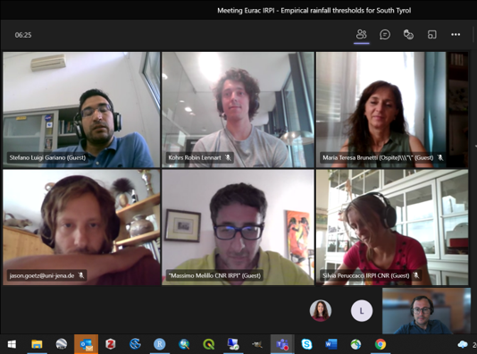
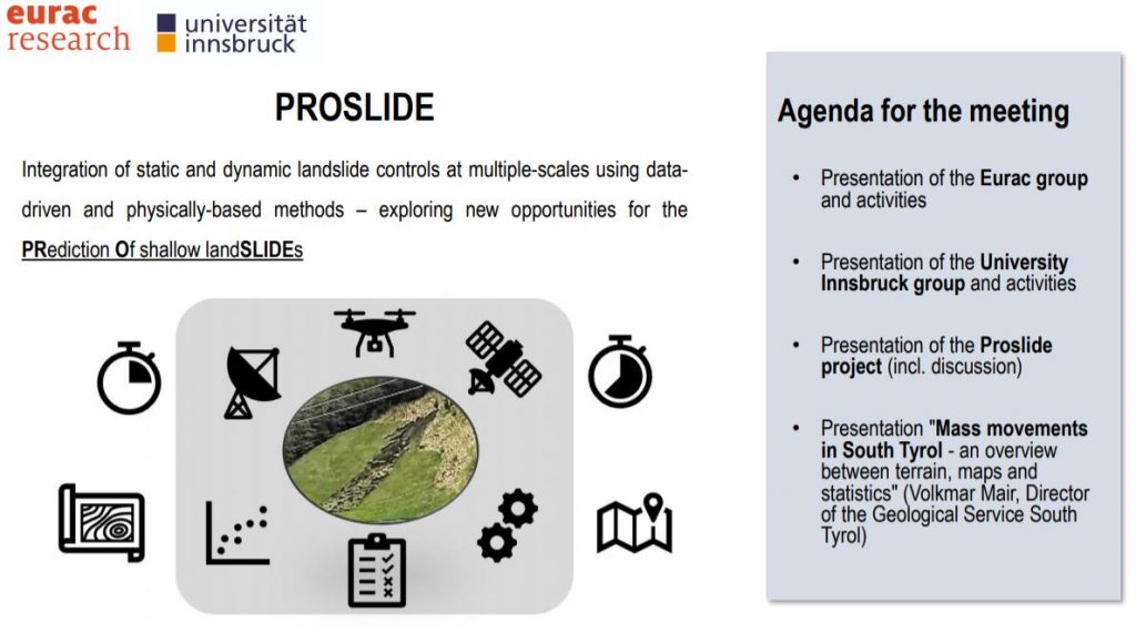
The Kickoff-meeting for the PROSLIDE project took place on the 20th of November 2020. As almost everything these days virtually, but that did not seem to lessen the interest of the involved people. The main aim of the meeting was to (i) present the financed partners and their competences, namely the Institute for Earth Observation of Eurac Research and the Institute for Geography of the University Innsbruck, (ii) to present the project PROSLIDE and its activities and (iii) to obtain first insights into challenges related to landsliding in South Tyrol from a decision-maker viewpoint.


In total, 20 persons from a variety of institutions and associated partners followed the event: the University of Innsbruck (several departments), the Institute for Interdisciplinary Mountain Research (Austrian Academy of Sciences), the Office for Geology and Building Material Testing (Autonomous Province of Bolzano), the Civil Protection Agency (Autonomous Province of Bolzano), Department of Land, Environment, Agriculture and Forestry of the University of Padova, the Institute for Geo-Hydrological Protection (IRPI) of the Italian National Research Council (CNR).

In summary, at first the Eurac team presented itself. The Eurac Institute for earth observation will build upon the competence of three different research groups for the Proslide project: (i) Earth Observation for Environmental Monitoring, (ii) Advanced Computing for Earth Observation and (iii) Climate and Disaster Risk. Within Proslide, the Eurac team will seek to build upon its multifaceted expertise to tackle the challenge of predicting landslide processes in space and time. In this context, Eurac will focus on the regional-scale analysis of shallow landslides using statistical and machine learning methods. The team expects considerable innovation by integrating spatio-temporal information on past landslide occurrences with radar rainfall estimates and EO information (e.g. soil moisture derived from Sentinel-1).

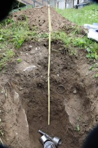
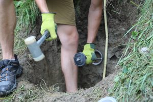
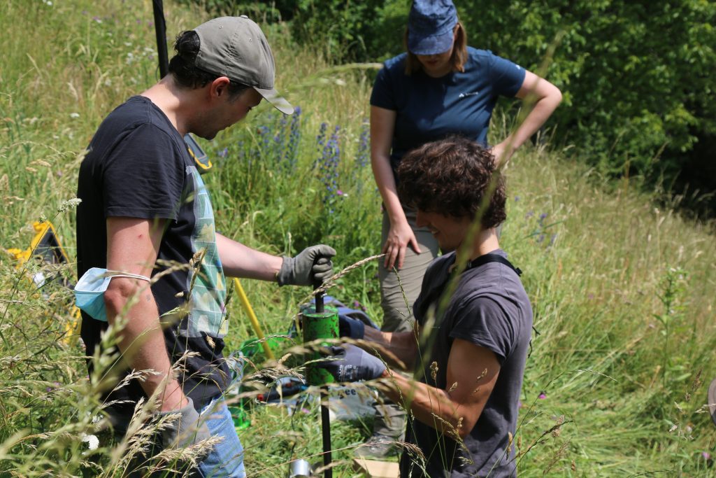
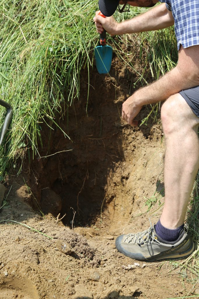
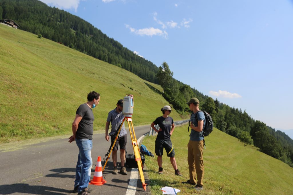
The University of Innsbruck introduced themselves and their previous work in the field, particularly related to physically-based slope stability modelling and proximal remote sensing (LiDAR-based analyses). The University of Innsbruck will focus on the catchment scale and dynamic physically-based approaches. An initial exploratory analysis of available data and a field trip will be used to make a final decisions regarding the study sites.

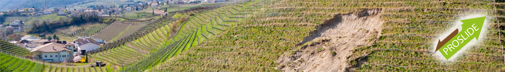
The final part of the Kickoff-meeting was dedicated to a presentation by the director of the office for Geology and Building Material Testing, Dr. Volkmar Mair. This presentation provided deeper insights into the variety of gravity-driven processes in the province as well as associated data availabilities. The Proslide team will benefit substantially from the close exchange with the local domain experts.

The final discussion was used to clarify open issues, to define the next steps, and to characterize some innovative aspects of the project, such as the inclusion of RADAR rainfall and EO-bases soil moisture estimates.