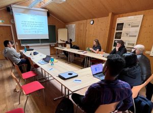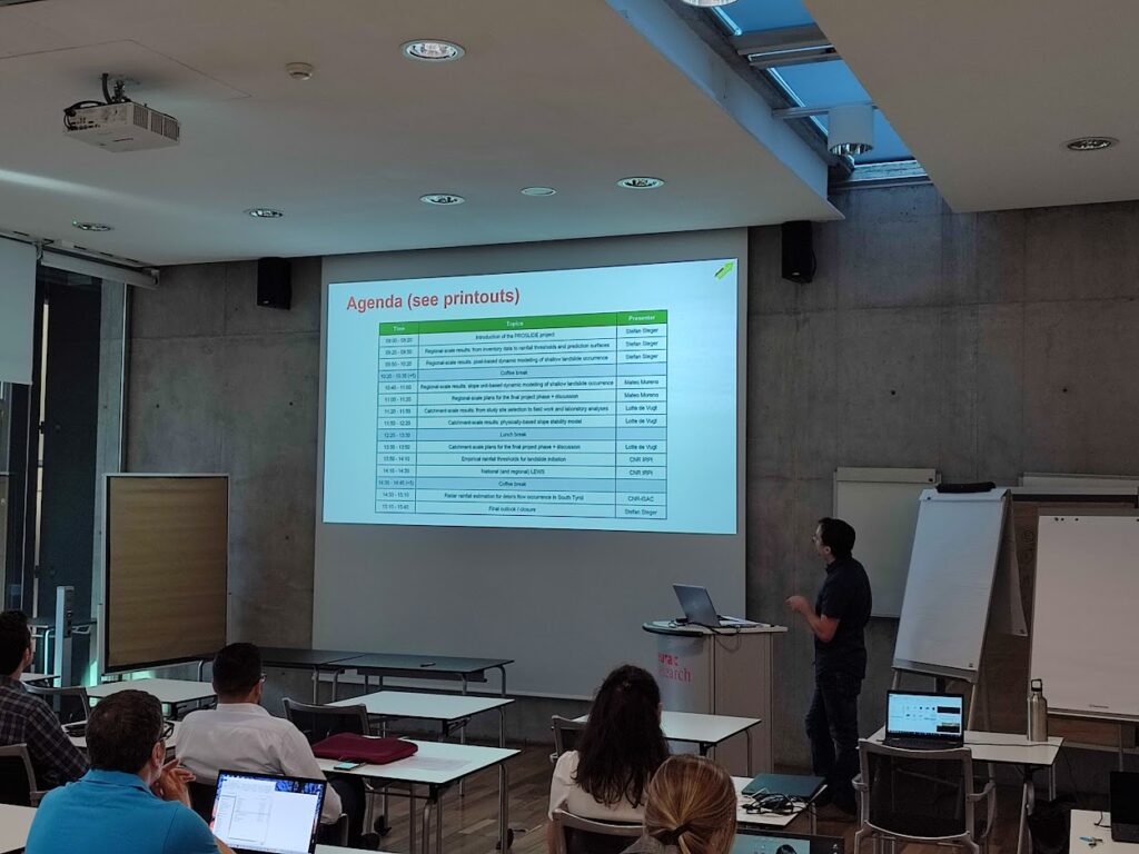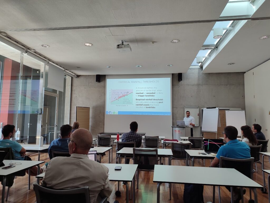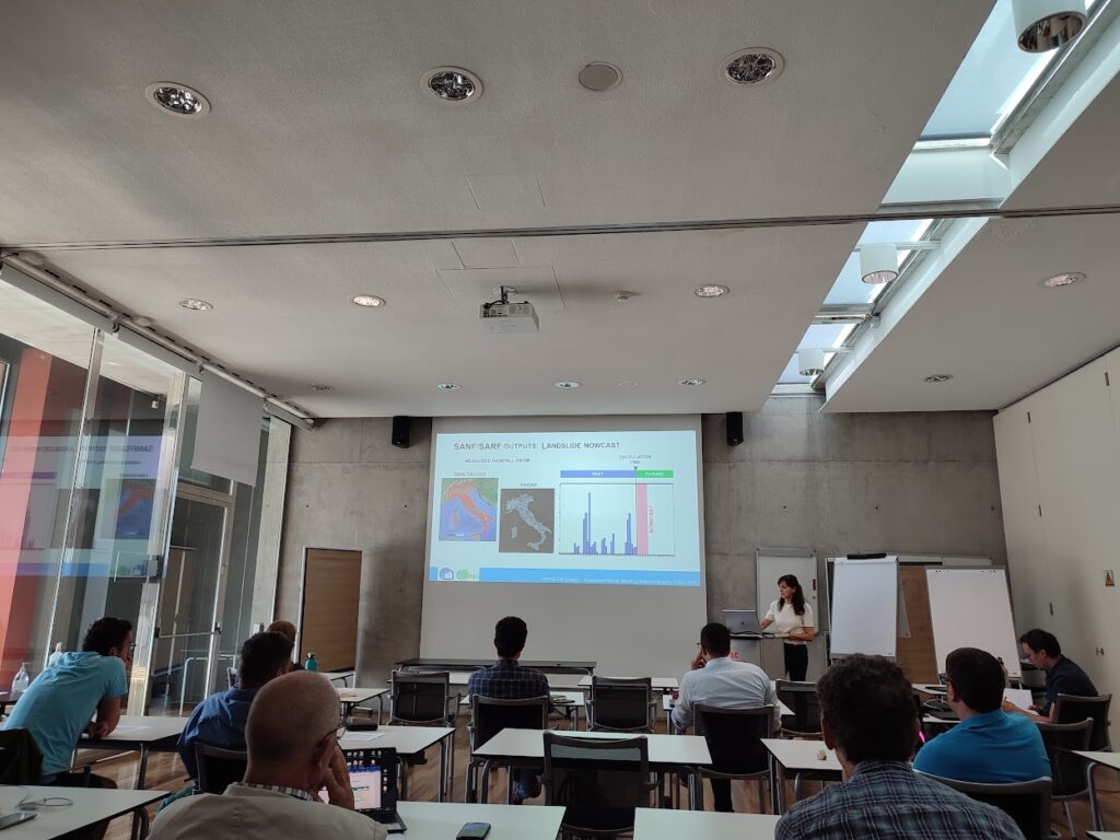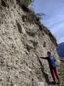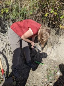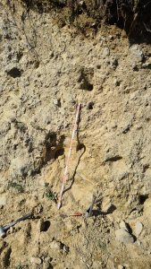
On December 13, Stefan Steger presented the data-driven landslide modelling results of Proslide within the Trans-Alp conference at Eurac HQ to researchers and Local and Regional authorities involved in Civil Protection. It was shown how the dynamic landslide prediction modelfrom Proslide can be coupled with dynamic exposure estimates from TransAlp to move towards an impact-oriented natural hazard early warning.
![]()
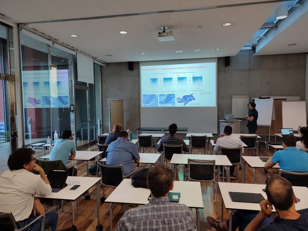
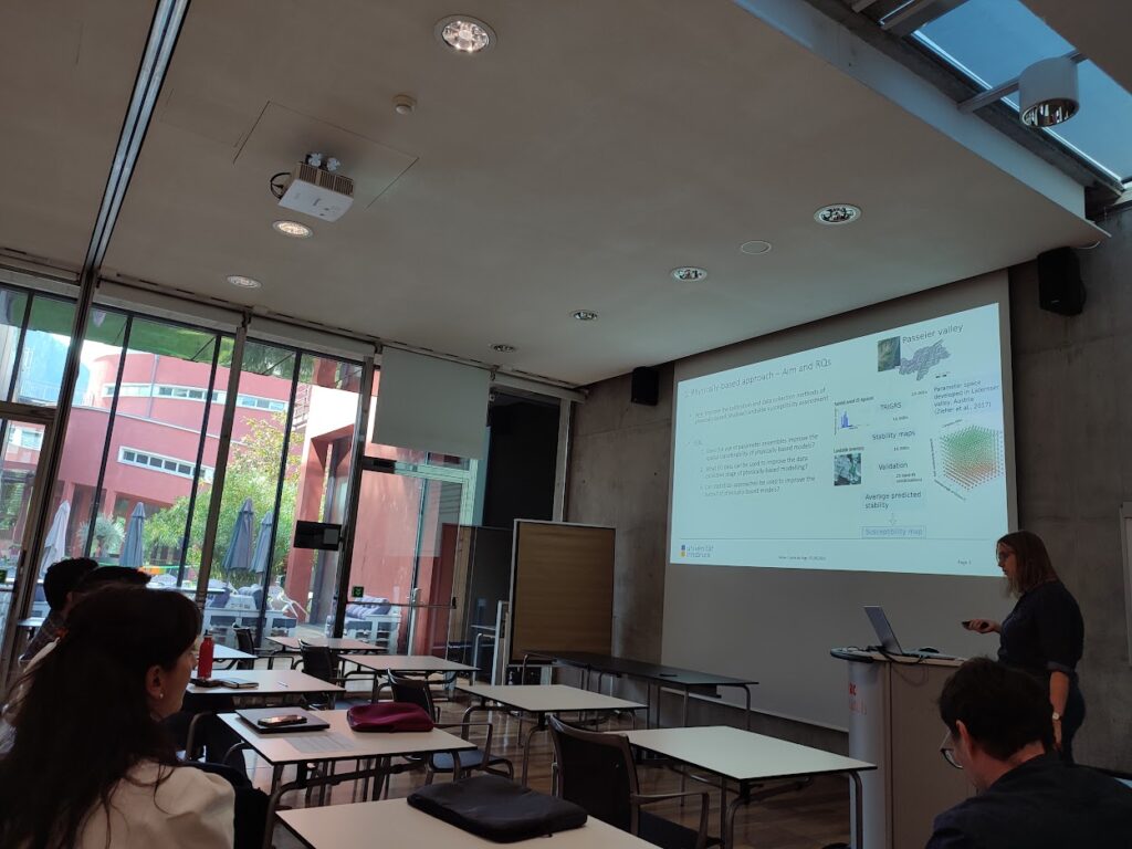
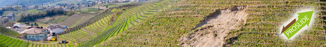
The TRANS-ALP project has been implemented by a consortium of environmental, meteo-hydrological and earth observations institutes from Austria and Italy, with the purpose of better understanding the threats related to extreme events at cross-border scale and elaborating new methodologies to improve the impact forecasting of extreme events in the mountain areas. The project is drawing to its conclusion and the partnership wanted to organise a final conference to sharing and discussing future perspectives with experts and stakeholders.
More infos on the event can be found here: