Terrestrial laser scanning @Jamtalferner
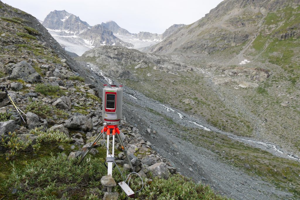
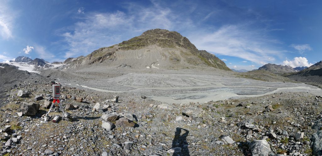
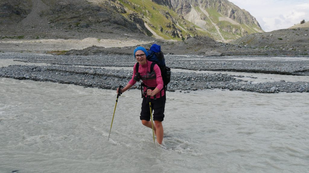
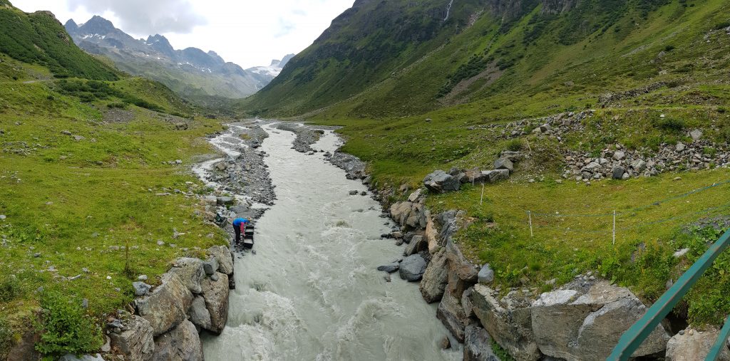
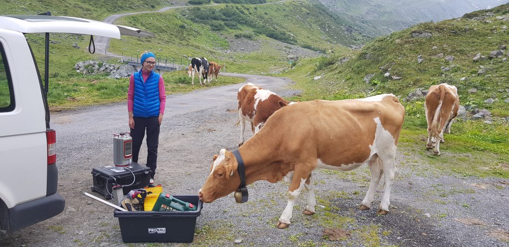
Just a few days after the helicopter based ALS aquisition stable rock areas have been recorded a second time in cooperation with the project partners of KU Eichstätt. The TLS data will help to minimize location errors of the final point cloud and increase overall point density for surface analysis of the study area. During the day glacier melt runoff increased markedly and river crossings have been unavoidable. Later the field team got company by cows showing high interest for the salt dilution equipment.