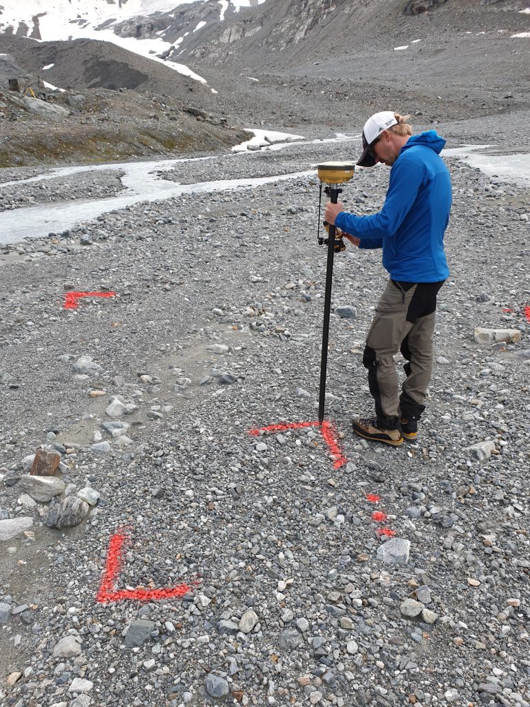
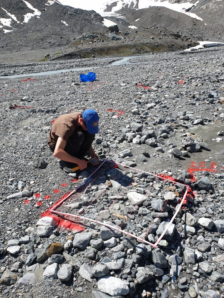
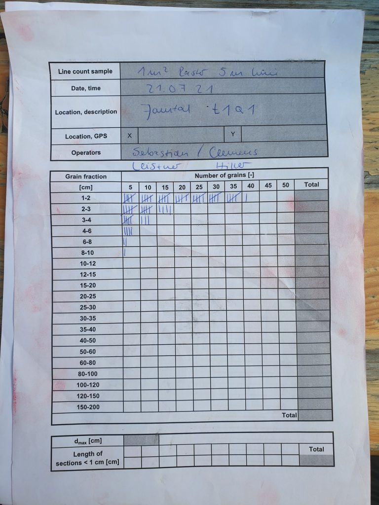
Grain size recording
The grain size distribution of a number of test-plots was counted using the Bunte sampling method in addition to the regularely UAV based photogrammetric surveys of the glacier forefield. The test-plots were geolocated with DGPS and are visible in the orthofotos from the UAV surveys. Thus the transferability of surface roughness from areal high resolution point clouds and digital elevation models to actual grain size distribution at the surface will be tested and developed.